
赵光镇 topographic map
Interactive map
Click on the map to display elevation.
About this map
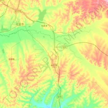
Name: 赵光镇 topographic map, elevation, terrain.
Location: 赵光镇, 北安市, 黑河市, 黑龙江省, 164300, 中国 (47.98633 126.56572 48.23373 127.26415)
Average elevation: 922 ft
Minimum elevation: 676 ft
Maximum elevation: 1,355 ft
Other topographic maps
Click on a map to view its topography, its elevation and its terrain.