
苏甲乡 topographic map
Interactive map
Click on the map to display elevation.
About this map
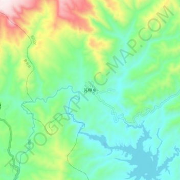
Name: 苏甲乡 topographic map, elevation, terrain.
Location: 苏甲乡, 昭通市, 云南省, 中国 (27.45521 103.43920 27.53521 103.51920)
Average elevation: 7,149 ft
Minimum elevation: 6,437 ft
Maximum elevation: 8,937 ft
Other topographic maps
Click on a map to view its topography, its elevation and its terrain.