
母享镇 topographic map
Interactive map
Click on the map to display elevation.
About this map
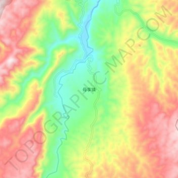
Name: 母享镇 topographic map, elevation, terrain.
Location: 母享镇, 昭通市, 云南省, 中国 (27.52410 105.14500 27.60410 105.22500)
Average elevation: 4,629 ft
Minimum elevation: 3,583 ft
Maximum elevation: 5,771 ft
Other topographic maps
Click on a map to view its topography, its elevation and its terrain.