
吉利镇 topographic map
Interactive map
Click on the map to display elevation.
About this map
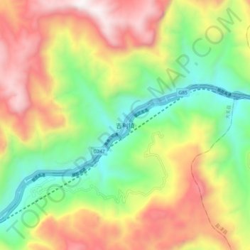
Name: 吉利镇 topographic map, elevation, terrain.
Location: 吉利镇, 昭通市, 云南省, 中国 (27.96802 103.96640 28.04802 104.04640)
Average elevation: 3,963 ft
Minimum elevation: 1,654 ft
Maximum elevation: 6,867 ft
Other topographic maps
Click on a map to view its topography, its elevation and its terrain.