
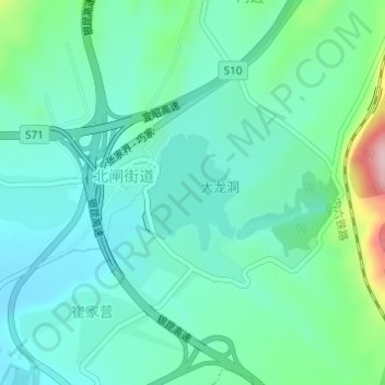
大龙洞水库 topographic map
Interactive map
Click on the map to display elevation.
About this map
Name: 大龙洞水库 topographic map, elevation, terrain.
Location: 大龙洞水库, 北闸街道, 昭阳区, 昭通市, 云南省, 中国 (27.41689 103.76584 27.42520 103.77315)
Average elevation: 6,617 ft
Minimum elevation: 6,460 ft
Maximum elevation: 7,185 ft
Other topographic maps
Click on a map to view its topography, its elevation and its terrain.