
水富市 topographic map
Interactive map
Click on the map to display elevation.
About this map
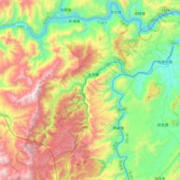
Name: 水富市 topographic map, elevation, terrain.
Location: 水富市, 昭通市, 云南省, 中国 (28.37404 104.06181 28.65275 104.42522)
Average elevation: 2,946 ft
Minimum elevation: 853 ft
Maximum elevation: 6,371 ft
Other topographic maps
Click on a map to view its topography, its elevation and its terrain.