
罗坎镇 topographic map
Interactive map
Click on the map to display elevation.
About this map
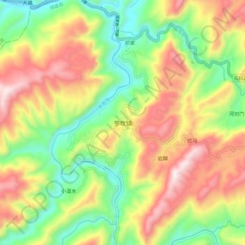
Name: 罗坎镇 topographic map, elevation, terrain.
Location: 罗坎镇, 昭通市, 云南省, 中国 (27.69080 104.63400 27.77080 104.71400)
Average elevation: 3,294 ft
Minimum elevation: 2,064 ft
Maximum elevation: 4,813 ft
Other topographic maps
Click on a map to view its topography, its elevation and its terrain.