
Texas County topographic map
Interactive map
Click on the map to display elevation.
About this map
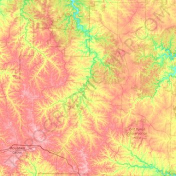
Name: Texas County topographic map, elevation, terrain.
Location: Texas County, Missouri, United States (37.04884 -92.25236 37.60643 -91.64662)
Average elevation: 1,257 ft
Minimum elevation: 856 ft
Maximum elevation: 1,647 ft
Missouri trails, hiking, mountain biking, running and outdoor activities
Other topographic maps
Click on a map to view its topography, its elevation and its terrain.
Creve Coeur Lake
United States > Missouri > Saint Louis County > Maryland Heights
Average elevation: 492 ft