
Worth County topographic map
Interactive map
Click on the map to display elevation.
About this map
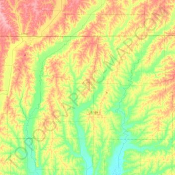
Name: Worth County topographic map, elevation, terrain.
Location: Worth County, Missouri, United States (40.38419 -94.63229 40.57188 -94.21397)
Average elevation: 1,043 ft
Minimum elevation: 863 ft
Maximum elevation: 1,276 ft
Missouri trails, hiking, mountain biking, running and outdoor activities
Other topographic maps
Click on a map to view its topography, its elevation and its terrain.
Creve Coeur Lake
United States > Missouri > Saint Louis County > Maryland Heights
Average elevation: 492 ft