
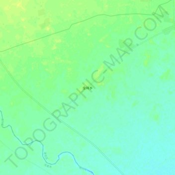
金祥乡 topographic map
Interactive map
Click on the map to display elevation.
About this map
Name: 金祥乡 topographic map, elevation, terrain.
Location: 金祥乡, 洮北区, 白城市, 吉林省, 中国 (45.45769 122.63486 45.53769 122.71486)
Average elevation: 515 ft
Minimum elevation: 495 ft
Maximum elevation: 545 ft
Other topographic maps
Click on a map to view its topography, its elevation and its terrain.