
前进村 topographic map
Interactive map
Click on the map to display elevation.
About this map
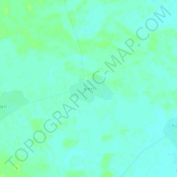
Name: 前进村 topographic map, elevation, terrain.
Location: 前进村, 通榆县, 白城市, 吉林省, 中国 (44.40516 122.66795 44.44516 122.70795)
Average elevation: 525 ft
Minimum elevation: 512 ft
Maximum elevation: 545 ft
Other topographic maps
Click on a map to view its topography, its elevation and its terrain.