
柳河县 topographic map
Interactive map
Click on the map to display elevation.
About this map
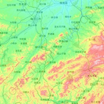
Name: 柳河县 topographic map, elevation, terrain.
Location: 柳河县, 通化市, 吉林省, 中国 (41.88008 125.28452 42.57754 126.57476)
Average elevation: 1,696 ft
Minimum elevation: 955 ft
Maximum elevation: 4,321 ft
Other topographic maps
Click on a map to view its topography, its elevation and its terrain.