
白城市 topographic map
Interactive map
Click on the map to display elevation.
About this map
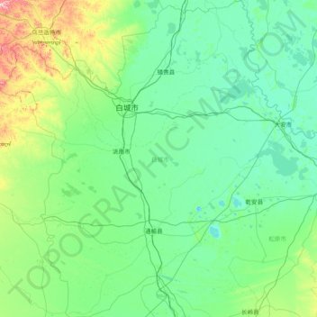
Name: 白城市 topographic map, elevation, terrain.
Location: 白城市, 吉林省, 中国 (44.23181 121.63571 46.30298 124.36640)
Average elevation: 574 ft
Minimum elevation: 394 ft
Maximum elevation: 2,418 ft
Other topographic maps
Click on a map to view its topography, its elevation and its terrain.