
长子县 topographic map
Interactive map
Click on the map to display elevation.
About this map
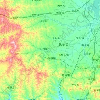
Name: 长子县 topographic map, elevation, terrain.
Location: 长子县, 长治市, 山西省, 中国 (35.92145 112.48349 36.26058 113.00818)
Average elevation: 3,461 ft
Minimum elevation: 2,858 ft
Maximum elevation: 5,377 ft
Other topographic maps
Click on a map to view its topography, its elevation and its terrain.