
平顺县 topographic map
Interactive map
Click on the map to display elevation.
About this map
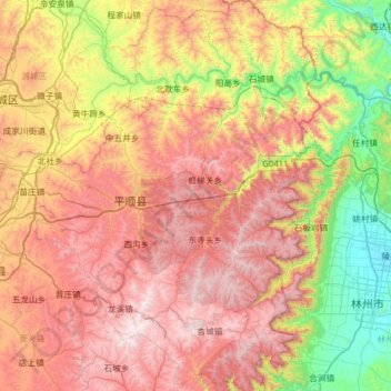
Name: 平顺县 topographic map, elevation, terrain.
Location: 平顺县, 长治市, 山西省, 中国 (35.95259 113.18742 36.45982 113.73457)
Average elevation: 3,369 ft
Minimum elevation: 889 ft
Maximum elevation: 6,050 ft
Other topographic maps
Click on a map to view its topography, its elevation and its terrain.