
潞州区 topographic map
Interactive map
Click on the map to display elevation.
About this map
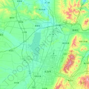
Name: 潞州区 topographic map, elevation, terrain.
Location: 潞州区, 长治市, 山西省, 中国 (36.11884 112.98564 36.44013 113.20604)
Average elevation: 3,173 ft
Minimum elevation: 2,828 ft
Maximum elevation: 4,472 ft
Other topographic maps
Click on a map to view its topography, its elevation and its terrain.