
沁县 topographic map
Interactive map
Click on the map to display elevation.
About this map
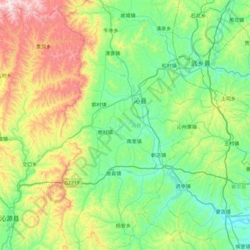
Name: 沁县 topographic map, elevation, terrain.
Location: 沁县, 长治市, 山西省, 中国 (36.42773 112.46529 36.97360 112.89530)
Average elevation: 3,737 ft
Minimum elevation: 2,858 ft
Maximum elevation: 6,293 ft
Other topographic maps
Click on a map to view its topography, its elevation and its terrain.