
西街街道 topographic map
Interactive map
Click on the map to display elevation.
About this map
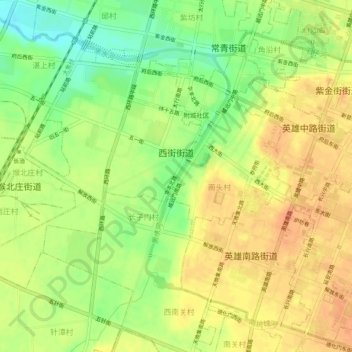
Name: 西街街道 topographic map, elevation, terrain.
Location: 西街街道, 潞州区, 长治市, 山西省, 中国 (36.17164 113.05350 36.19947 113.10448)
Average elevation: 3,045 ft
Minimum elevation: 2,969 ft
Maximum elevation: 3,091 ft
Other topographic maps
Click on a map to view its topography, its elevation and its terrain.