
上党区 topographic map
Interactive map
Click on the map to display elevation.
About this map
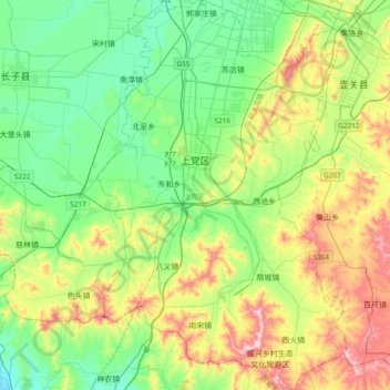
Name: 上党区 topographic map, elevation, terrain.
Location: 上党区, 长治市, 山西省, 中国 (35.86842 112.95099 36.17543 113.19536)
Average elevation: 3,386 ft
Minimum elevation: 2,835 ft
Maximum elevation: 4,580 ft
Other topographic maps
Click on a map to view its topography, its elevation and its terrain.