
合漳村 topographic map
Interactive map
Click on the map to display elevation.
About this map
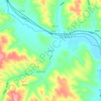
Name: 合漳村 topographic map, elevation, terrain.
Location: 合漳村, 长治市, 山西省, 中国 (36.50262 112.84574 36.54262 112.88574)
Average elevation: 3,068 ft
Minimum elevation: 2,910 ft
Maximum elevation: 3,350 ft
Other topographic maps
Click on a map to view its topography, its elevation and its terrain.