
太行山 topographic map
Interactive map
Click on the map to display elevation.
About this map
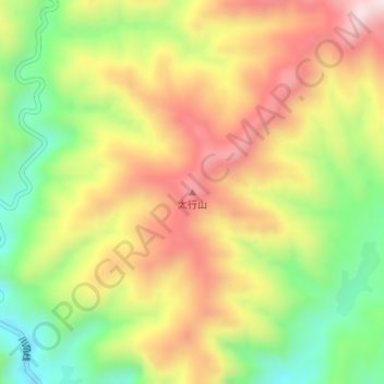
Name: 太行山 topographic map, elevation, terrain.
Location: 太行山, 长治市, 山西省, 中国 (35.94590 113.48116 35.94600 113.48126)
Average elevation: 4,505 ft
Minimum elevation: 3,757 ft
Maximum elevation: 5,249 ft
Other topographic maps
Click on a map to view its topography, its elevation and its terrain.