
东川 topographic map
Interactive map
Click on the map to display elevation.
About this map
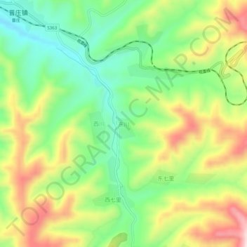
Name: 东川 topographic map, elevation, terrain.
Location: 东川, 长治市, 山西省, 中国 (36.04137 113.33014 36.08137 113.37014)
Average elevation: 4,423 ft
Minimum elevation: 3,921 ft
Maximum elevation: 5,115 ft
Other topographic maps
Click on a map to view its topography, its elevation and its terrain.