
灵空山镇 topographic map
Interactive map
Click on the map to display elevation.
About this map
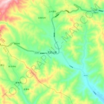
Name: 灵空山镇 topographic map, elevation, terrain.
Location: 灵空山镇, 长治市, 山西省, 中国 (36.50786 112.09823 36.58786 112.17823)
Average elevation: 4,236 ft
Minimum elevation: 3,599 ft
Maximum elevation: 5,358 ft
Other topographic maps
Click on a map to view its topography, its elevation and its terrain.