
阳泽河村 topographic map
Interactive map
Click on the map to display elevation.
About this map
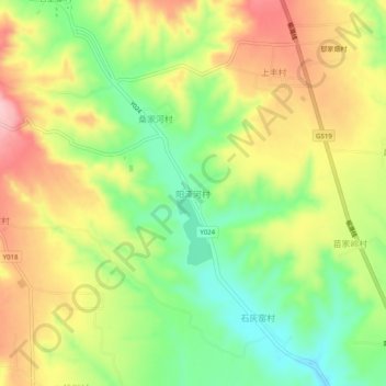
Name: 阳泽河村 topographic map, elevation, terrain.
Location: 阳泽河村, 长治市, 山西省, 中国 (36.55080 112.97646 36.59080 113.01646)
Average elevation: 3,205 ft
Minimum elevation: 2,930 ft
Maximum elevation: 3,510 ft
Other topographic maps
Click on a map to view its topography, its elevation and its terrain.