
文瀛公园 topographic map
Interactive map
Click on the map to display elevation.
About this map
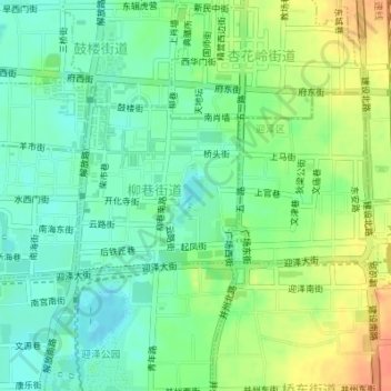
Name: 文瀛公园 topographic map, elevation, terrain.
Location: 文瀛公园, 柳巷街道, 迎泽区, 太原市, 山西省, 中国 (37.86225 112.56146 37.86670 112.56582)
Average elevation: 2,621 ft
Minimum elevation: 2,562 ft
Maximum elevation: 2,707 ft
Other topographic maps
Click on a map to view its topography, its elevation and its terrain.