
尖草坪区 topographic map
Interactive map
Click on the map to display elevation.
About this map
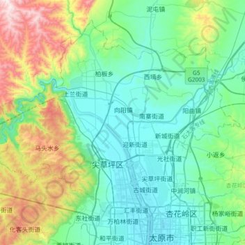
Name: 尖草坪区 topographic map, elevation, terrain.
Location: 尖草坪区, 太原市, 山西省, 030008, 中国 (37.88099 112.34413 38.07716 112.64026)
Average elevation: 3,291 ft
Minimum elevation: 2,566 ft
Maximum elevation: 5,692 ft
Other topographic maps
Click on a map to view its topography, its elevation and its terrain.