
金胜镇 topographic map
Interactive map
Click on the map to display elevation.
About this map
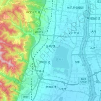
Name: 金胜镇 topographic map, elevation, terrain.
Location: 金胜镇, 晋源区, 太原市, 山西省, 中国 (37.73629 112.40475 37.82004 112.54145)
Average elevation: 2,831 ft
Minimum elevation: 2,523 ft
Maximum elevation: 4,298 ft
Other topographic maps
Click on a map to view its topography, its elevation and its terrain.