
徐沟镇 topographic map
Interactive map
Click on the map to display elevation.
About this map
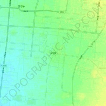
Name: 徐沟镇 topographic map, elevation, terrain.
Location: 徐沟镇, 太原市, 山西省, 中国 (37.51790 112.46600 37.59790 112.54600)
Average elevation: 2,520 ft
Minimum elevation: 2,493 ft
Maximum elevation: 2,552 ft
Other topographic maps
Click on a map to view its topography, its elevation and its terrain.