
北格镇 topographic map
Interactive map
Click on the map to display elevation.
About this map
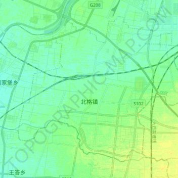
Name: 北格镇 topographic map, elevation, terrain.
Location: 北格镇, 小店区, 太原市, 山西省, 中国 (37.59958 112.47664 37.68896 112.61485)
Average elevation: 2,526 ft
Minimum elevation: 2,507 ft
Maximum elevation: 2,559 ft
Other topographic maps
Click on a map to view its topography, its elevation and its terrain.