
上兰街道 topographic map
Interactive map
Click on the map to display elevation.
About this map
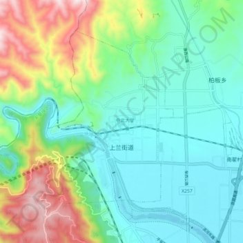
Name: 上兰街道 topographic map, elevation, terrain.
Location: 上兰街道, 尖草坪区, 太原市, 山西省, 中国 (37.98825 112.37160 38.04041 112.45986)
Average elevation: 3,228 ft
Minimum elevation: 2,589 ft
Maximum elevation: 4,905 ft
Other topographic maps
Click on a map to view its topography, its elevation and its terrain.