
职工新街街道 topographic map
Interactive map
Click on the map to display elevation.
About this map
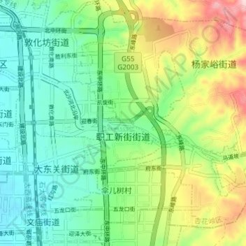
Name: 职工新街街道 topographic map, elevation, terrain.
Location: 职工新街街道, 杏花岭区, 太原市, 山西省, 中国 (37.86712 112.57617 37.89542 112.63683)
Average elevation: 2,894 ft
Minimum elevation: 2,612 ft
Maximum elevation: 3,478 ft
Other topographic maps
Click on a map to view its topography, its elevation and its terrain.