
敦化坊街道 topographic map
Interactive map
Click on the map to display elevation.
About this map
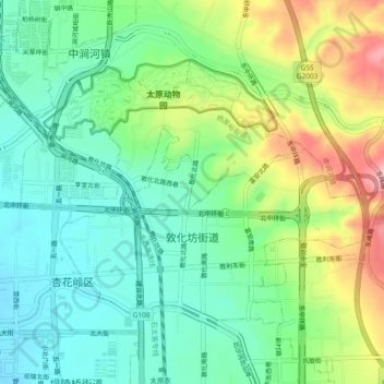
Name: 敦化坊街道 topographic map, elevation, terrain.
Location: 敦化坊街道, 杏花岭区, 太原市, 山西省, 中国 (37.88889 112.55839 37.91399 112.60473)
Average elevation: 2,792 ft
Minimum elevation: 2,608 ft
Maximum elevation: 3,150 ft
Other topographic maps
Click on a map to view its topography, its elevation and its terrain.