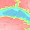
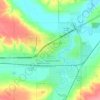
Division No. 10 topographic map
Click on the map to display elevation.
About this map

Name: Division No. 10 topographic map, elevation, terrain.
Location: Division No. 10, Saskatchewan, Canada (51.09571 -105.00480 52.14617 -103.27021)
Average elevation: 1,923 ft
Minimum elevation: 1,677 ft
Maximum elevation: 2,477 ft
Other topographic maps
Click on a map to view its topography, its elevation and its terrain.








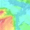

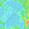
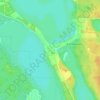
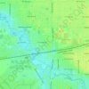
Buffalo Pound Provincial Park
Canada > Saskatchewan > Marquis No. 191
Nicolle Flats Marsh, with a total area of 73.18 km2 (28.25 sq mi) and an elevation of 511 m (1,677 ft), is a large marshy area located in the park at the south-east corner of Buffalo Pound Lake. The confluence of the Qu'Appelle and Moose Jaw Rivers is in the marsh. The area is an Important Bird Area of Canada…
Average elevation: 1,877 ft



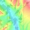
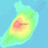
McClean Lake
Canada > Saskatchewan > Division No. 18 > Unorganized Division No. 18
Average elevation: 1,444 ft
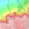
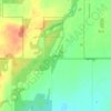
Grasslands National Park of Canada
Canada > Saskatchewan > Waverley No. 44
Average elevation: 2,694 ft

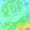


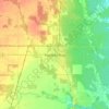
Onion Lake
Canada > Saskatchewan > Division No. 17 > Frenchman Butte No. 501
Average elevation: 2,024 ft


La Loche
Canada > Saskatchewan > Northern Saskatchewan Administration District > La Loche
Average elevation: 1,467 ft