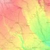
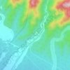
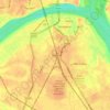
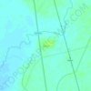
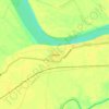
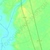
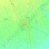
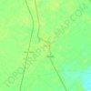
Mathura District topographic map
Click on the map to display elevation.
Mathura District
Mathura is located at 27°17′N 77°25′E / 27.28°N 77.41°E / 27.28; 77.41. It has an average elevation of 174 metres (570 feet). The climate of Mathura is tropical extreme with very hot summers with temperatures rising beyond 44 °C, and cold and foggy winters with the temperature dipping to 5 °C. The average rainfall is 793 mm, received mostly during the monsoons from July to September.
About this map

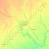
Name: Mathura District topographic map, elevation, terrain.
Location: Mathura District, Uttar Pradesh, India (27.23320 77.28330 27.96776 77.98943)
Average elevation: 600 ft
Minimum elevation: 489 ft
Maximum elevation: 1,007 ft
Other topographic maps
Click on a map to view its topography, its elevation and its terrain.
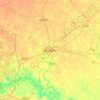
Govardhan
India > Uttar Pradesh > Mathura District
Govardhana is located at 27°30′N 77°28′E / 27.5°N 77.47°E / 27.5; 77.47. It has an average elevation of 179 metres (587 feet). Govardhana has been made Tehsil in Mathura District by the Uttar Pradesh government.
Average elevation: 594 ft
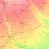
Baraut
India > Uttar Pradesh > Baraut
Baraut is located at 29.6°N 77.16°E, covering an area of 10.36 square kilometers (4.00 sq mi) and lying between the Ganga and Yamuna river plains. Its average elevation is 231 m (758 feet). Baraut is served by NH-709B and state highways SH-57 and SH-82.
Average elevation: 745 ft
Robertsganj
India > Uttar Pradesh > Robertsganj
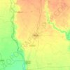
Robertsganj is located at 24°42′N 83°04′E / 24.7°N 83.07°E / 24.7; 83.07. It has an average elevation of 330 metres (1080 feet) from sea level. Robertsganj is located in the south-eastern ranges of the Vindhyachal mountain.
Average elevation: 1,027 ft
Khurja
India > Uttar Pradesh > Khurja
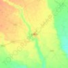
Khurja is located at 28°15′N 77°51′E / 28.25°N 77.85°E / 28.25; 77.85. It has an average elevation of 197 metres (646 foot).
Average elevation: 650 ft