Kalimantan topographic map
Click on the map to display elevation.
About this map
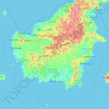
Name: Kalimantan topographic map, elevation, terrain.
Location: Kalimantan, Indonesia (-5.41389 108.13865 4.40782 119.66809)
Average elevation: 344 ft
Minimum elevation: -13 ft
Maximum elevation: 7,369 ft
Other topographic maps
Click on a map to view its topography, its elevation and its terrain.




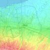
Bekasi
The City of Bekasi is a part of the Bekasi river basin, located in the downstream area of the basin with slopes ranging from 0 to 2% and elevations between 11 meters to 81 meters above sea level. The city of Bekasi is part of the Bekasi river basin and is located in the downstream area of the basin, with a…
Average elevation: 75 ft

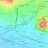





Sopalan Rejosari
Indonesia > Special Region of Yogyakarta > Sleman Regency > Maguwoharjo
Average elevation: 495 ft


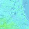
Margahayu
Indonesia > West Java > Kabupaten Bandung
Margahayu is an administrative district (Kecamatan) in the Bandung Regency, in the West Java Province of Indonesia. The district is a plain area with an altitude between 500 m to 1,800 m above sea level. It is located southwest of the major West Java city of Bandung. Although outside of the city itself, the…
Average elevation: 2,205 ft