
Cole County topographic map
Interactive map
Click on the map to display elevation.
About this map
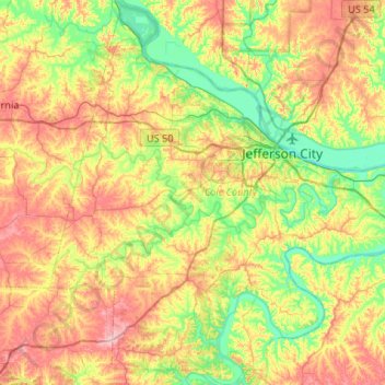
Name: Cole County topographic map, elevation, terrain.
Location: Cole County, Missouri, United States (38.32259 -92.49517 38.74092 -92.00037)
Average elevation: 722 ft
Minimum elevation: 515 ft
Maximum elevation: 1,024 ft
Missouri trails, hiking, mountain biking, running and outdoor activities
Other topographic maps
Click on a map to view its topography, its elevation and its terrain.
Creve Coeur Lake
United States > Missouri > Saint Louis County > Maryland Heights
Average elevation: 492 ft