
西王村 topographic map
Interactive map
Click on the map to display elevation.
About this map
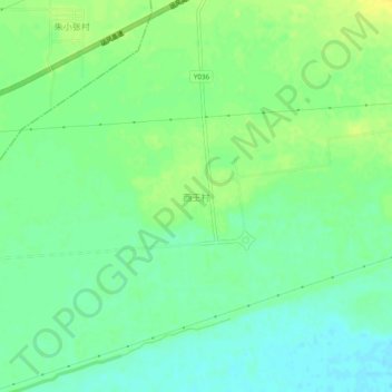
Name: 西王村 topographic map, elevation, terrain.
Location: 西王村, 盐湖区, 运城市, 山西省, 中国 (34.95100 110.74543 34.99100 110.78543)
Average elevation: 1,155 ft
Minimum elevation: 1,122 ft
Maximum elevation: 1,194 ft
Other topographic maps
Click on a map to view its topography, its elevation and its terrain.