
城区 topographic map
Interactive map
Click on the map to display elevation.
About this map
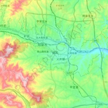
Name: 城区 topographic map, elevation, terrain.
Location: 城区, 阳泉市, 山西省, 中国 (37.81060 113.50961 37.87876 113.68328)
Average elevation: 2,575 ft
Minimum elevation: 1,946 ft
Maximum elevation: 3,825 ft
Other topographic maps
Click on a map to view its topography, its elevation and its terrain.