
榕江县 topographic map
Interactive map
Click on the map to display elevation.
About this map
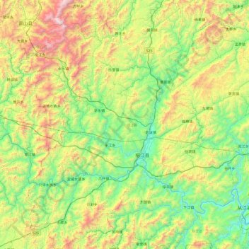
Name: 榕江县 topographic map, elevation, terrain.
Location: 榕江县, 黔东南苗族侗族自治州, 贵州省, 中国 (25.61474 108.07738 26.46038 108.73227)
Average elevation: 2,530 ft
Minimum elevation: 584 ft
Maximum elevation: 7,096 ft
Other topographic maps
Click on a map to view its topography, its elevation and its terrain.