
Tsushima topographic map
Interactive map
Click on the map to display elevation.
About this map
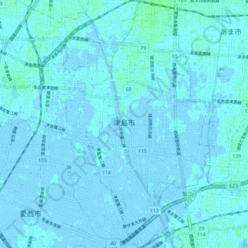
Name: Tsushima topographic map, elevation, terrain.
Location: Tsushima, Prefectura de Aichi, Región de Chūbu, Japón (35.13274 136.70694 35.19972 136.78675)
Average elevation: 3 ft
Minimum elevation: -16 ft
Maximum elevation: 16 ft
Other topographic maps
Click on a map to view its topography, its elevation and its terrain.
生野区
Japón > Prefectura de Osaka > Osaka
生野区, Osaka, Prefectura de Osaka, Japón
Average elevation: 26 ft