
川口市 topographic map
Interactive map
Click on the map to display elevation.
About this map
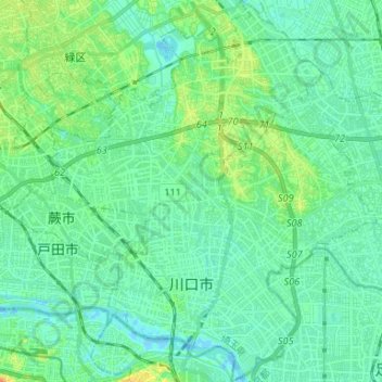
Name: 川口市 topographic map, elevation, terrain.
Location: 川口市, Prefectura de Saitama, Japón (35.78018 139.67520 35.88707 139.78828)
Average elevation: 30 ft
Minimum elevation: -20 ft
Maximum elevation: 108 ft
Other topographic maps
Click on a map to view its topography, its elevation and its terrain.
生野区
Japón > Prefectura de Osaka > Osaka
生野区, Osaka, Prefectura de Osaka, Japón
Average elevation: 26 ft