
Usuki topographic map
Interactive map
Click on the map to display elevation.
About this map
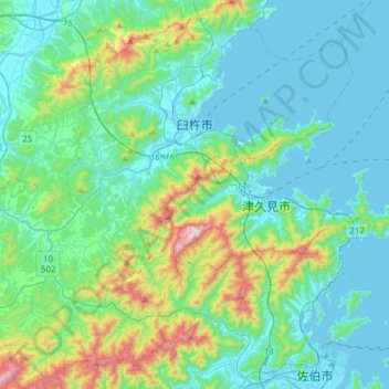
Name: Usuki topographic map, elevation, terrain.
Location: Usuki, Prefectura de Ōita, Japón (32.95075 131.62859 33.20754 131.92997)
Average elevation: 433 ft
Minimum elevation: -10 ft
Maximum elevation: 2,306 ft
Other topographic maps
Click on a map to view its topography, its elevation and its terrain.
生野区
Japón > Prefectura de Osaka > Osaka
生野区, Osaka, Prefectura de Osaka, Japón
Average elevation: 26 ft