Alabama topographic maps
Click on a map to view its topography, its elevation and its terrain.
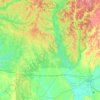
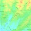
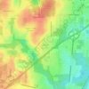
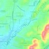
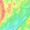
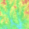
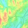
Fairhope
United States > Alabama > Baldwin County > Fairhope
According to the U.S. Census Bureau, the city has a total area of 12.0 square miles (31.1 km2), of which 0.019 square mile (0.05 km2), or 0.16%, is water. Its elevation ranges from sea level at the bay to 122 feet (37 m) in the city center.
Average elevation: 115 ft










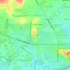
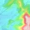
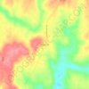
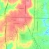
Hunters Hill
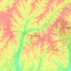
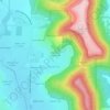
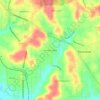
United States > Alabama > Jefferson County > Irondale > Hunters Hill
Average elevation: 784 ft
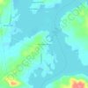
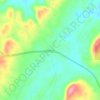
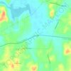
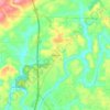
Auburn
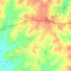
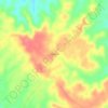
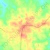
United States > Alabama > Lee County > Auburn
The southwest and west regions of the city on the plateau are marked by rolling plains and savannahs, with the undeveloped portion primarily being used for cattle grazing and ranching. South of this region sits the coastal plain, with sandy soil and pine forest. Parts of north Auburn have much more rugged…
Average elevation: 620 ft

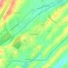


Warrior
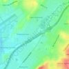
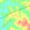
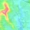
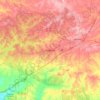
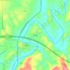
United States > Alabama > Jefferson County > Warrior > Warrior
Warrior is in the Central time zone. The elevation at the center of town is 564 feet (172 m), though it ranges from over 620 feet (190 m) north of the center to less than 300 feet (91 m) along the Locust Fork of the Black Warrior River, which forms the southern boundary of the city.
Average elevation: 469 ft