
土门镇 topographic map
Interactive map
Click on the map to display elevation.
About this map
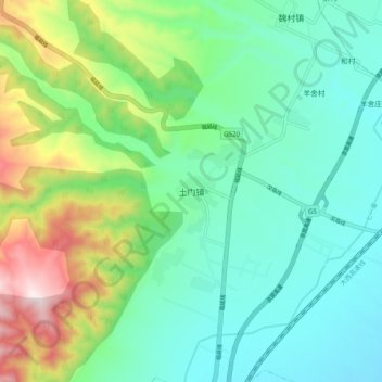
Name: 土门镇 topographic map, elevation, terrain.
Location: 土门镇, 尧都区, 临汾市, 山西省, 中国 (36.16170 111.42600 36.24170 111.50600)
Average elevation: 2,136 ft
Minimum elevation: 1,496 ft
Maximum elevation: 3,845 ft
Other topographic maps
Click on a map to view its topography, its elevation and its terrain.