
Ngozi topographic map
Interactive map
Click on the map to display elevation.
About this map
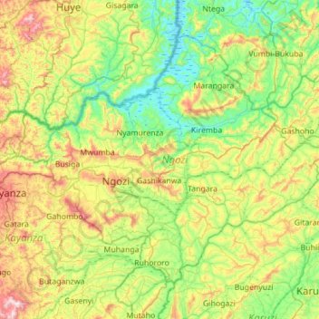
Name: Ngozi topographic map, elevation, terrain.
Location: Ngozi, Burundi (-3.08695 29.63681 -2.65557 30.19311)
Average elevation: 5,312 ft
Minimum elevation: 4,449 ft
Maximum elevation: 7,267 ft
Other topographic maps
Click on a map to view its topography, its elevation and its terrain.
Buterere
Burundi > Bujumbura Mairie > Buterere
Buterere, Bujumbura Mairie, 331, Burundi
Average elevation: 2,589 ft