
两当县 topographic map
Interactive map
Click on the map to display elevation.
About this map
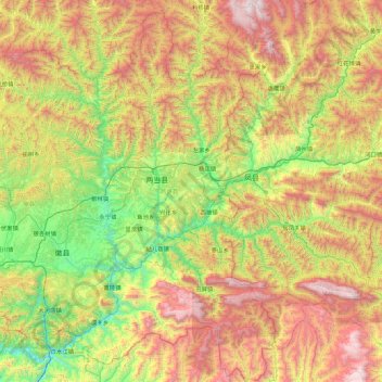
Name: 两当县 topographic map, elevation, terrain.
Location: 两当县, 陇南市, 甘肃省, 中国 (33.51438 106.19664 34.25717 106.58118)
Average elevation: 4,898 ft
Minimum elevation: 2,313 ft
Maximum elevation: 8,839 ft
Other topographic maps
Click on a map to view its topography, its elevation and its terrain.