
正宁县 topographic map
Interactive map
Click on the map to display elevation.
About this map
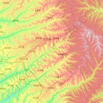
Name: 正宁县 topographic map, elevation, terrain.
Location: 正宁县, 庆阳市, 甘肃省, 中国 (35.24203 107.93981 35.60481 108.63334)
Average elevation: 4,373 ft
Minimum elevation: 2,976 ft
Maximum elevation: 5,974 ft
Other topographic maps
Click on a map to view its topography, its elevation and its terrain.