
河口乡 topographic map
Interactive map
Click on the map to display elevation.
About this map
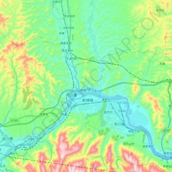
Name: 河口乡 topographic map, elevation, terrain.
Location: 河口乡, 西固区, 兰州市, 甘肃省, 中国 (36.13096 103.36288 36.23100 103.57309)
Average elevation: 5,699 ft
Minimum elevation: 5,059 ft
Maximum elevation: 7,339 ft
Other topographic maps
Click on a map to view its topography, its elevation and its terrain.