
窑街 topographic map
Interactive map
Click on the map to display elevation.
About this map
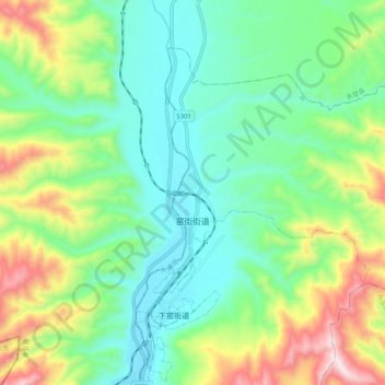
Name: 窑街 topographic map, elevation, terrain.
Location: 窑街, 红古区, 兰州市, 甘肃省, 中国 (36.40849 102.85769 36.47040 102.95976)
Average elevation: 6,539 ft
Minimum elevation: 5,873 ft
Maximum elevation: 8,018 ft
Other topographic maps
Click on a map to view its topography, its elevation and its terrain.