
濂溪区 topographic map
Interactive map
Click on the map to display elevation.
About this map
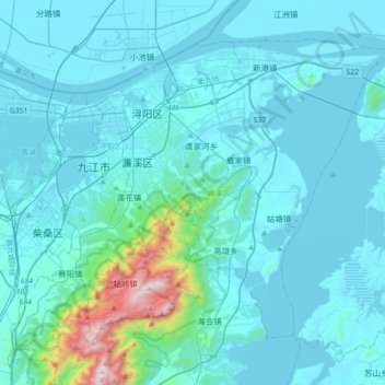
Name: 濂溪区 topographic map, elevation, terrain.
Location: 濂溪区, 江西省, 中国 (29.52086 115.87041 29.76715 116.22533)
Average elevation: 417 ft
Minimum elevation: 20 ft
Maximum elevation: 4,754 ft
Other topographic maps
Click on a map to view its topography, its elevation and its terrain.